Today I found Croydon's highest point, in Sanderstead Plantation. It could be better signposted, but I appreciate the effort that somebody has gone to in marking it.
It's inspired me to look at a topographic map and find out how high the other high and low points of Croydon are. The topographic map reckons the top of Sanderstead Plantation is 181 metres above sea level, while the sign there says it's 175 metres, but it's not a big difference.
 |
| IKEA car park, 37m above sea level. Sep 2011. |
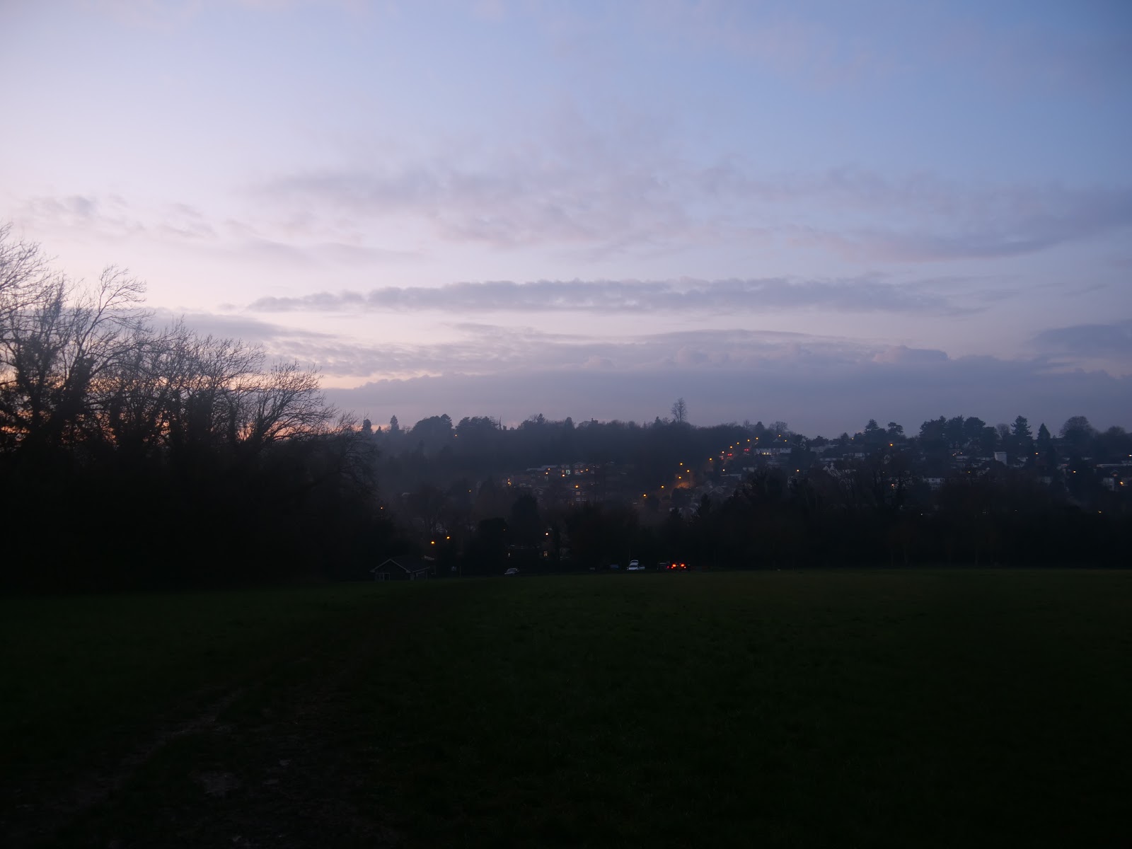
Generally speaking, the lowest points of Croydon are to the west and north west, around Purley Way, Waddon, Mitcham Road and Norbury. There are some low lying areas in South Norwood Country Park too.
I was surprised to learn that Beulah Hill, where the TV transmitter is, is around 50 metres lower than Sanderstead Plantation. On the photo above, taken from Sanderstead Plantation, the Beulah Hill transmitter is on the left, while the Crystal Palace transmitter is on the right. To right of centre are buildings of the City of London. In the foreground is Croham Hurst golf course. The photo was taken with some zoom, as Croham Hurst starts around 750 metres from where I was standing and the City of London is nearly 12 miles (19km) away.
The above photo looks north east from Sanderstead Plantation. The building on the right is part of Royal Russell School on Coombe Lane, at an elevation of around 146 metres. In the distance are the buildings of the Canary Wharf area, on the Isle of Dogs, 11.5 miles (19km) away.
The above photo shows some of south and central Croydon from Sanderstead Plantation, with the Wembley Stadium arch in the far distance. The church on the left is St Peter's Church near South Croydon station, while the building in the centre is 15-storey Ryland House, built by BT. To the right is Leon House, a 22-storey former office block which was recently converted into flats.
The ridge at the top of Croham Hurst is around 144 metres above sea level, around the same as the Addington Hills viewing point, but 30 metres lower than Sanderstead. It's a steep climb up there though, not helped by the slippery round pebbles. It's around a 220 metre distance directly down to the junction of Upper Selsdon Road and Elmfield Road from the top, but the elevation drops by 45 metres to 99 metres on the road.
 |
| Addington Hills, April 2020 |
Croydon may not seem like a challenge to mountaineers but there's plenty of hills to walk up and down, if you feel so inclined.
 |
| Croydon town centre from Addington Hills, July 2020 |
I think how high up I feel in different areas depends on the surrounding land and how steep the slopes are. The corner of Littleheath Wood in Selsdon closest to Selsdon town centre is 168 metres above sea level but it doesn't feel that high up because the trees obscure any view and the land is relatively flat. Addington Hills viewing point feels higher up because there's a clear view, but it's around 24 metres lower than Littleheath Woods.
 |
| Selsdon Wood, Dec 2020 |
Similarly, Selsdon Wood is one of the highest points in Croydon. If you've ever walked or cycled from Selsdon town centre to Selsdon Wood, you'll know that Old Farleigh Road is not as straightforward as it looks on a map. It starts in Selsdon at 149 metres, then drops to 116 metres before climbing again to 156 metres at the southern boundary of Croydon. The photo above was taken from the top of the field near Selsdon Wood car park, looking north west.
 |
| South Norwood Country Park, Dec 2020 |
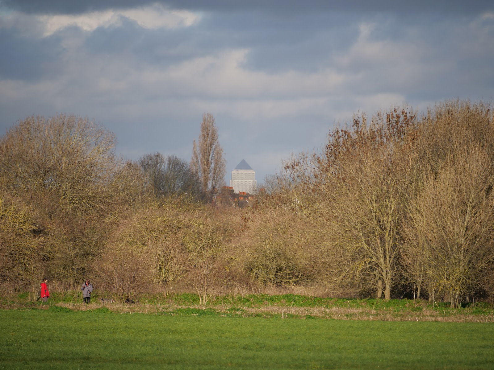
I took the above photo near Arena tram stop, on the edge of South Norwood Country Park, where the elevation is only 42 metres but a fortuitous gap in the trees gave a clear view of 1 Canada Square in Canary Wharf.
When it comes to getting a good view, all that's needed is to be somewhere that's higher than the places around it.
 |
| View from Norwood Grove (76m), Dec 2020 |
I apologise for the mix of metric and imperial measurements, I was brought up with metric measurements apart from on the roads, where distances are measured in miles, but I have no ability to visualise heights in feet, only metres.


Comments
Post a Comment